|
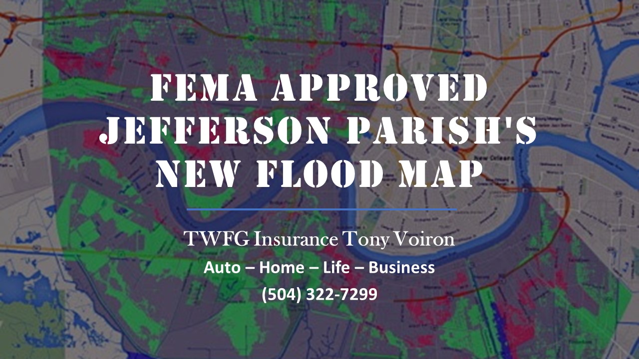
The Federal Emergency Management Agency has approved updated flood maps for Jefferson Parish that could mean lower flood insurance premiums for thousands of property owners next year. Parish President Mike Yenni announced the approval on Wednesday ( Aug. 9) during the Parish Council meeting.
"We just got the letter from FEMA today that says the flood map is final, effective for insurance rates on Feb. 2 of 2018," Yenni said. Next, the Parish Council has to adopt an ordinance reflecting the updated maps, Yenni said. That's expected to happen in the coming weeks once the administration drafts the ordinance. For more than 20 years, flood insurance premiums in Jefferson Parish have been calculated based on maps adopted in 1995. In 2016, after two years of studying and gathering input from property owners and residents, the parish submitted updated preliminary map for FEMA approval. Wednesday's announcement concerned that final determination by FEMA. In unincorporated Jefferson Parish, there are 90,000 flood insurance policies in place, according to Michelle Gonzales, the parish's floodplain management and hazard mitigation director. The updated maps show a decrease flood risk for "thousands of structures" and should help property owners with lower flood insurance rates, she said. Source: Nola.com The Times - Picayune read Full Article
2 Comments
|
AuthorWrite something about yourself. No need to be fancy, just an overview. Archives
April 2020
Categories |

 RSS Feed